Presentation of Arsenyev Atlas took place in Vladivostok
Опубликовано: 03.04.2024 | Обновлено: 22.04.2025
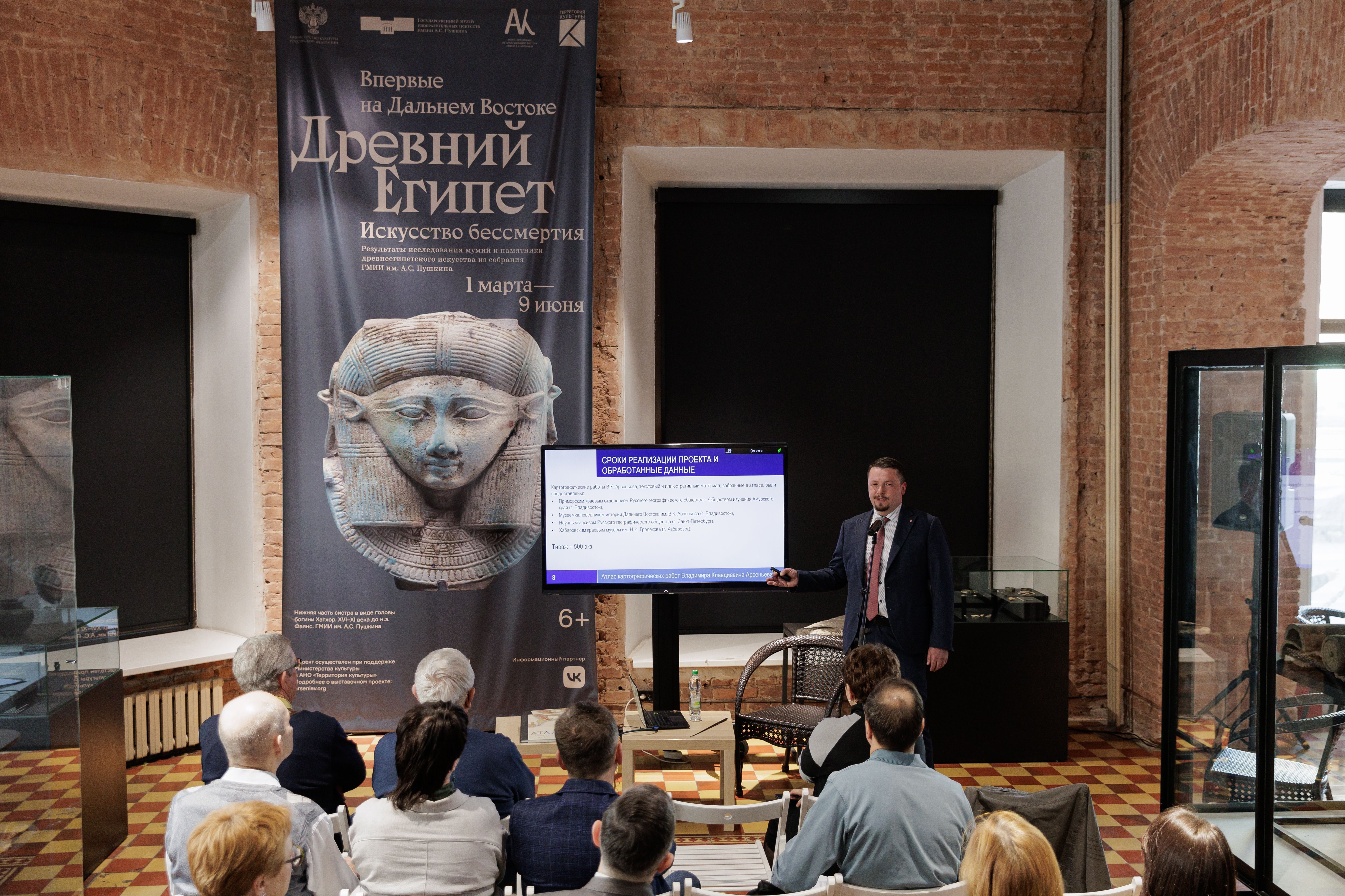
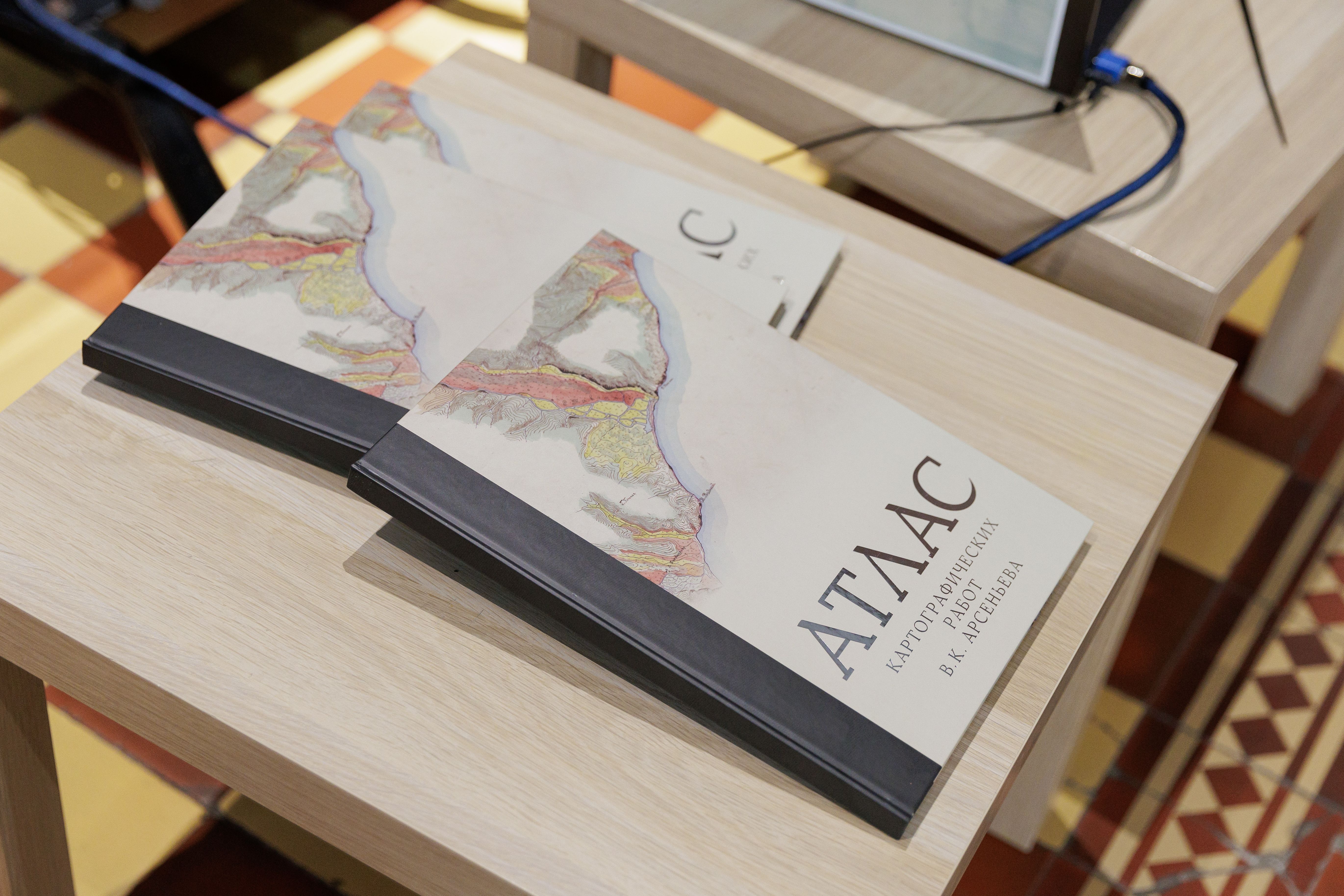
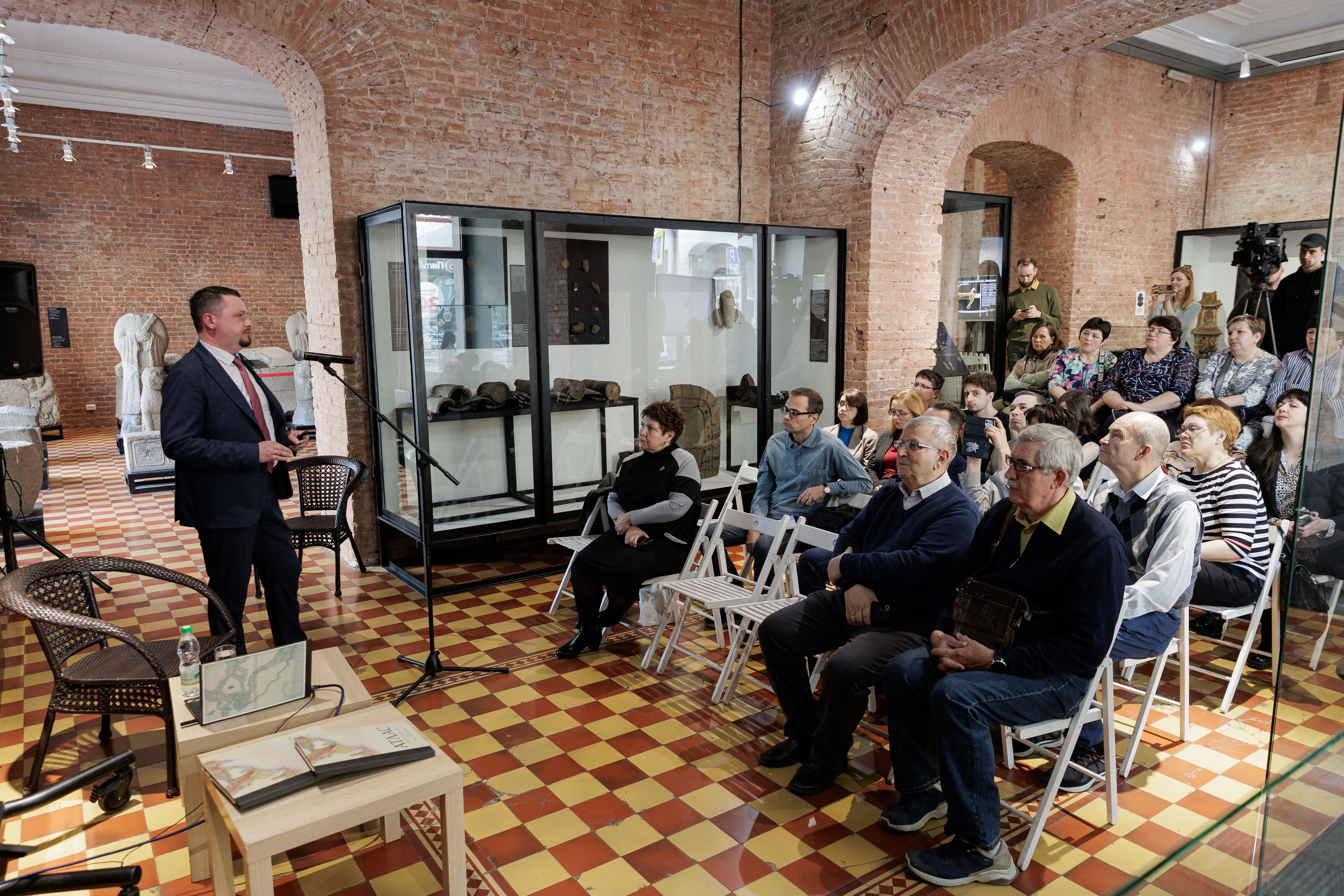
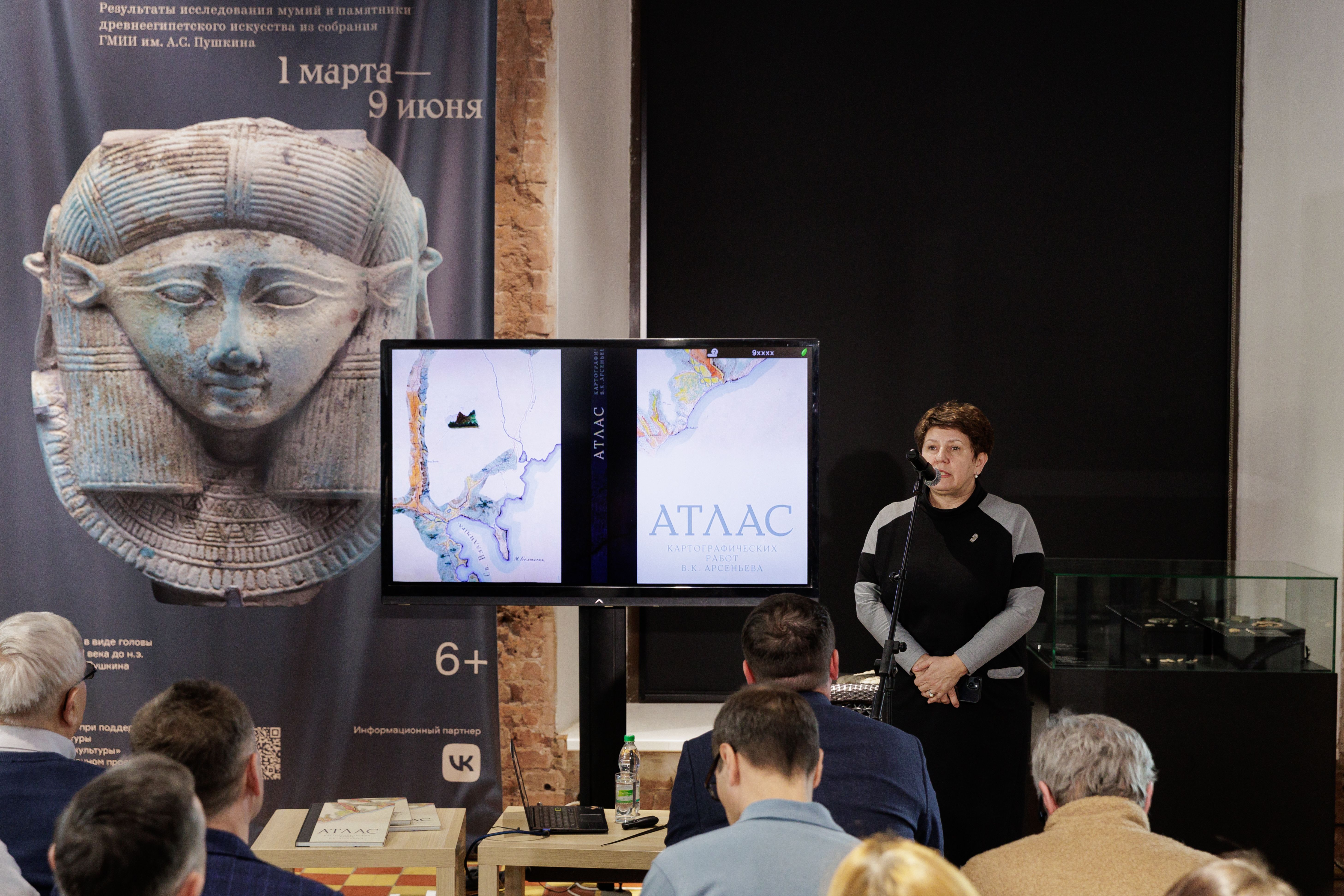
The atlas with original cartographic works of the discoverer of the Ussuri region was presented at the Arsenyev Museum. He was the first traveler and scientist who approached the study of the Ussuri region on a systematic integrated basis. These words, said by the director of the Pacific Institute of Geography of the FEB RAS Kirill Hanzey to Arsenyev, became the leitmotif of the meeting held in the Museum-Reserve of the History of the Far East named after V.K. Arsenyev. The main “hero” of the presentation was the new “Atlas of cartographic works by V.K. Arsenyev”, the release of which continues the events that began in 2022, announced by President Vladimir Putin Year Arsenyev in honor of the 150th anniversary of our genius of the place. The emergence of such a voluminous scientific work became possible thanks to the cooperation of a number of institutions: the Arsenyev Museum, the Society for the Study of the Amur Territory (Primorsky Branch of the Russian Geographical Society) and two academic institutes - the Pacific Institute of Geography of the FEB RAS and the Institute of History, Archaeology and Ethnography of the Peoples of the Far East of the FEB RAS. The main task set by the authors is to collect key cartographic works of Vladimir Klavdievich, to bring the materials in line with the modern idea of structuring cartographic information, which ultimately allowed to draw conclusions about the relevance of Arsenyev’s works. Kirill Hansei told the participants of the meeting about what the publication includes, what its uniqueness is. Atlas has 49 maps, 19 of which are Arsenyev’s original maps. 30 - modern, supported by information materials of the researcher himself, which the creators of the project applied to a modern cartographic basis. Some maps have up-to-date data on specific issues relevant today, for example, data on the changed habitat of animals, the distribution of indigenous peoples, etc. 73 maps are taken from the field diaries of Vladimir Klavdievich. 61 photographs of the Ussuri region, the vast majority of which were made by Arsenyev himself, the rest by his colleagues, participants of expeditions from 1905 to 1927. For comparison, the authors of the collection placed modern photos of the same areas of the study. The materials are combined into six sections. “Expeditions”, “Physical geography”, “Ways of communication”, “Population and economy”, “Development of the Ussuri region”, “Archaeology” – even the names of the sections reflect the breadth of scientific interests of the tireless researcher. Arsenyev devoted three decades to the study of the Ussuri region. According to Hansei, it is almost impossible to establish the total length of the scientist’s routes. But the duration of his expeditionary research took about 8 years. “Without exaggeration, Vladimir Klavdievich can be called the last discoverer of the Ussuri region,” said the director of the Pacific Institute of Geography of the FEB RAS. The authors of Atlas are convinced that the result of the colossal work will be in demand not only for scientists and researchers. “Today we hold in our hands another monumental embodiment of the work of a man who devoted his whole life to the study of the Far East. Given the increased interest in Arsenyev in recent years, his life, his discoveries, I am convinced that acquaintance with Atlas will bring great pleasure to a large circle of admirers of his talents, said Angelika Petruk, Scientific Secretary of the Arsenyev Museum. It should be added that the circulation of the Atlas of cartographic works by V.K. Arsenyev is small. You can buy it in the museum store (Vladivostok, Svetlanskaya str., 20). The material and photos were prepared and provided by the press service of the State United Museum-Reserve of the History of the Far East named after V.K. Arsenyev.

Loading...